
Distribution map of Congolese geothermal activities
DRC Geothermal potentialities
The Democratic Republic of Congo is the biggest country of the great lake region within the central Africa where more than 75% (Fig 1) of the West branch of EARS lies. While the eastern part of this branch is covered by Uganda, Rwanda, Burundi and Tanzania, the DRC alone covers the western flank of the branch. It shares its geothermal resources with these countries and has around 200 thermal springs, of which only a hundred or so can be identified on a map. Its thermal springs are in the eastern part of the country, highly in North Kivu, South Kivu and in the Haut Lomami province; the Haut Katanga, Lualaba, Tanganyika, Ituri and Maniema has slight activities. However, the singular thermal activity at Bas Congo in the Atlantic littoral zone does not appear on surface maybe lost by tectonic activism. In the history of geothermal energy in the western branch of the EARS, the Kiabuka power station remains the only one of its kind since the colonial period. It was discovered in 1911 and exploitable in 1952 but was only in operation for a short time.
Ongoing activities

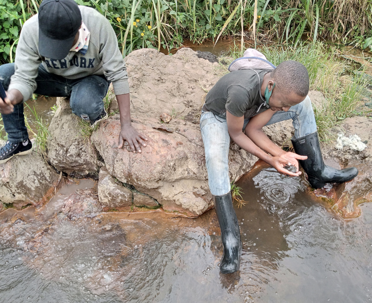
visit respectively of Rwenzori (Masambo spring) and Masisi (Kisuma springs)

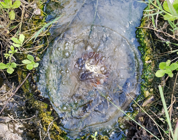
Visiting the Thermal group of Katana in Kabare, South Kivu
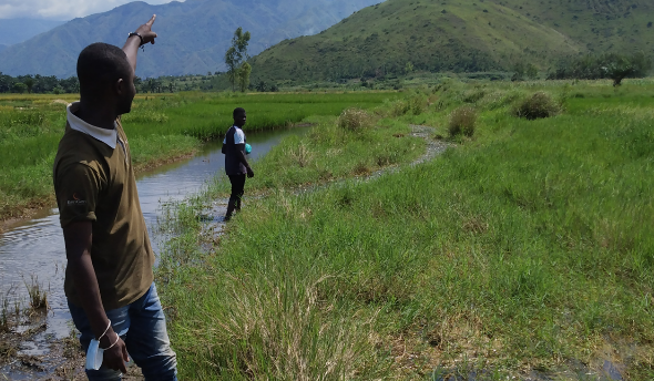
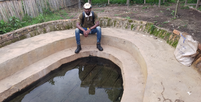
Visiting and sampling respectively the Katogota and Nyangezi springs

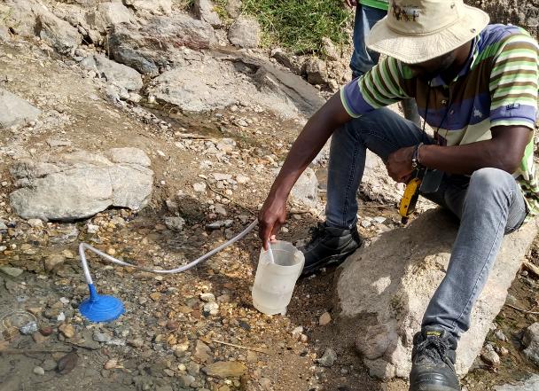
Pemba and Uvira springs (2024, 2023)
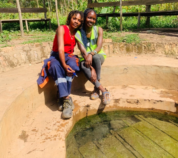
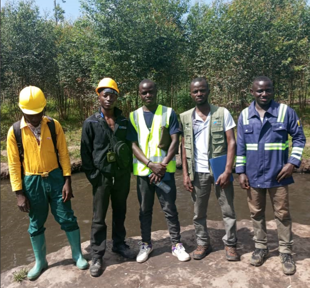
Geology students visiting some springs during their academic training
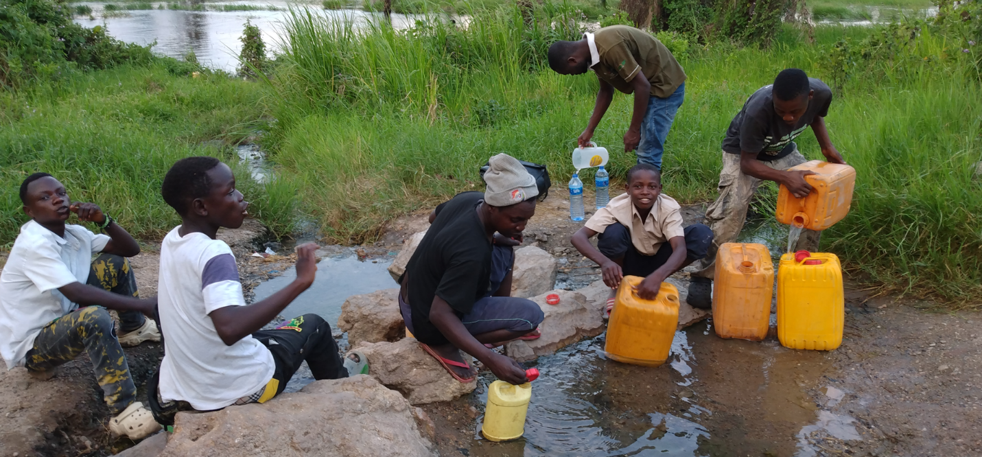
Hot springs in the city of Uvira, Northern of Tanganyika Lake


Geology students visiting some springs during their academic training

Hot springs in the city of Uvira, Northern of Tanganyika Lake

